by niwothistoricalsociety_rbuwde | May 29, 2023
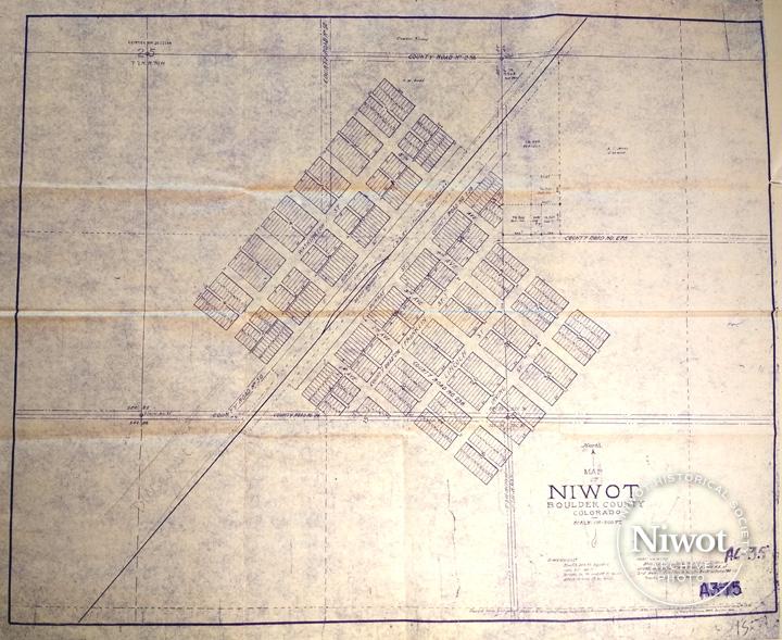
Copy of original 1975 Niwot plat which had been “traced from a blueprint copy of the original map recorded in Boulder County March 30, 1875, and minor features added and others rearranged (by cartographer Henry A Drumm, Boulder, Colorado)”.

by niwothistoricalsociety_rbuwde | Apr 14, 2023
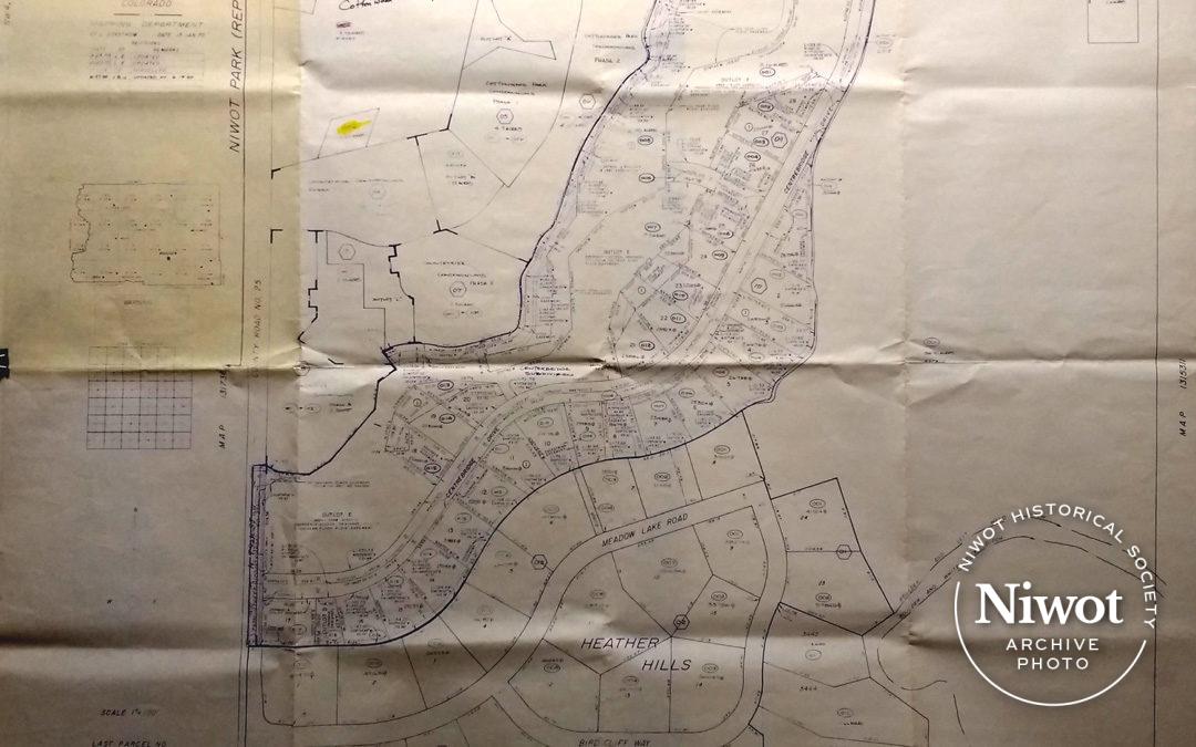
Blueprints of Niwot Park replat created by Boulder County Mapping Department NW4, Sec 31, T.2N., R.69W. Map No. #1315310. Dated 1/15/1970, with latest update 6/19/85. Shows Cottonwood Park Square, Countryside Condominiums, Centerbridge Subdivision and Heather Hills....

by niwothistoricalsociety_rbuwde | Apr 13, 2023
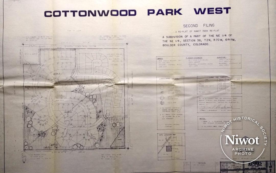
Blueprint showing all streets, lots and common area landscaping for Cottonwood Park West in Niwot, Second Filing.


