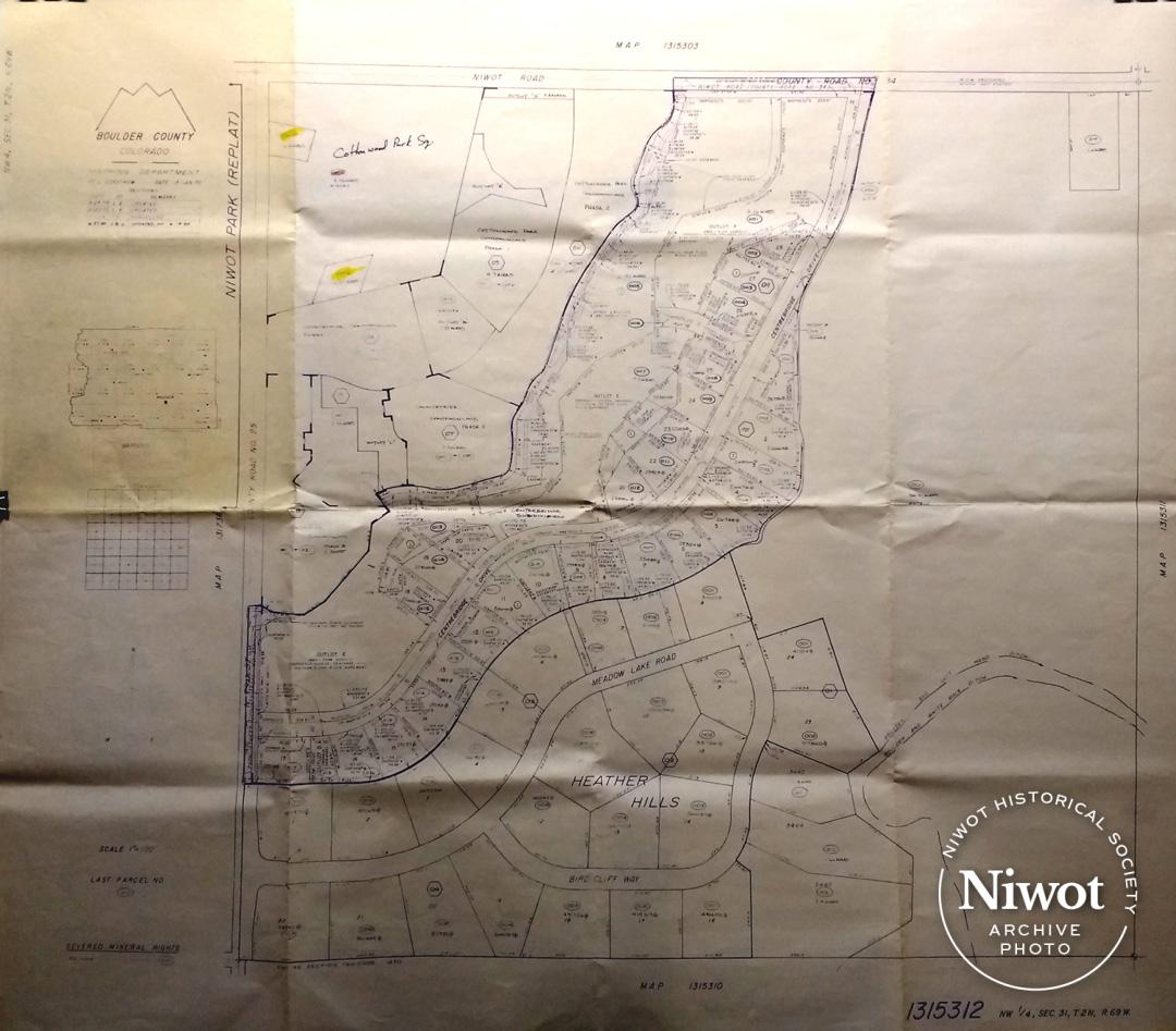
Blueprints of Niwot Park replat created by Boulder County Mapping Department NW4, Sec 31, T.2N., R.69W. Map No. #1315310. Dated 1/15/1970, with latest update 6/19/85. Shows Cottonwood Park Square, Countryside Condominiums, Centerbridge Subdivision and Heather Hills. Area shown is bordered by Niwot Road on north, 79th Street on west.

